On July 8, 2023, the 7th "Chengyuan Cup - Planning Decision Support Model Design Competition" final evaluation meeting was held in Beijing. Two groups of students from the School of Architecture of Tianjin University stood out from more than a hundred teams and won a second prize and an excellence prize respectively.
Academic elites from universities such as Peking University, Tsinghua University, Tongji University, Tianjin University, Nanjing University, Wuhan University, Southeast University, Harbin Institute of Technology, Central South University and Shenzhen University were attracted to participate. This competition was jointly sponsored by Beijing Chengyuan Digital Technology Company Limited, World Urban Planning Education Network (WUPEN), Homedale Urban Planning & Architects CO., LTD. Of BICP, and co-sponsored by BCL, China Unicom Smart Steps, Baidu Maps Smart Eyes, and GeoScene Information Technology Co., Ltd.
01 Second Prize Winners
An Exploration of the Relationship between Urban Open Space and Neighborhood Change and the Construction of a Decision Model for its Governance.
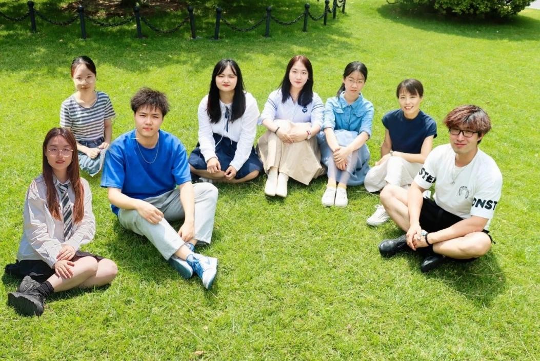
Participants: Zhang Shiyun, Li Zhichao, Zhao Yamei, Bian Junjie, Pan Xiaomin, Liu Mengdi
Instructor: Mi Xiaoyan, Sun Delong
To start with, the winning entry originated from the coursework of three undergraduate students, Shiyun Zhang, Zhichao Li, and Yamei Zhao, in "Design Software Internship". The course is a practical course on the application of technical methods of urban research and planning offered by the School of Architecture of Tianjin University for fourth-year undergraduate students majoring in urban and rural planning and landscape architecture.
As China's urbanization moves towards high-quality development, first-tier cities seek to reduce quantity and improve quality. Urban vacant land has become an important stock resource. This study aims to explore the possibility of urban vacant land as an important spatial indicator to measure neighborhood change. The central urban areas of Beijing, Shanghai, Guangzhou and Shenzhen are selected for this study, and 314 streets in the four cities are used as the basic research units, with the time range from 2010 to 2020. This study applies the semantic segmentation model to identify urban vacant land in remote sensing images, uses image semantic segmentation to process streetscape images and extract the corresponding patches, and performs systematic clustering of neighborhood change data. The correlation between urban vacant land and neighborhood change factors is calculated by spatial measurement model, and a logistic regression model is constructed to establish a formula for predicting the type and degree of neighborhood change through urban vacant land data, and to analyze the distribution differences among the four cities. This study builds a regulation model from the street unit, senses the response of urbanization evolution in human living space in real time, and formulates management decisions on urban open space based on the impact on neighborhoods, so as to provide a basic judgement for fair and orderly urban regeneration and fine-tuned development.
Notably, there are three innovation points of this project. The first one is constructing a quantitative indicator system and classification basis for neighborhood change in the Chinese context. The second is integrated use of remote sensing technology and image analysis, and the last is introduction of urban open space as a key spatial indicator.
Neighborhood office is a micro-unit of social governance with Chinese characteristics, and the changes in its economic, social and spatial factors profoundly reflect the operating laws of the urban system. This study takes the street as a unit, analyses the stages and categories of neighborhood change, and determines the causes of neighborhood change, in order to provide lessons and references for the governance of other similar cities.
In this study, a framework for automatic identification of large-scale urban open spaces developed based on DeepLabv3+ semantic segmentation model is adopted. The framework is able to identify open spaces quickly and accurately; it also introduces the semantic segmentation results of street view images as spatial change elements, which are incorporated into the indicator system to comprehensively assess the spatial changes in the process of neighborhood change. This research methodology, which integrates remote sensing technology and image analysis methods, provides new means and tools for research, making it possible to conduct in-depth investigations into the relationship between urban open space and neighborhood change.
While traditional neighborhood changes studies usually focus on the analysis of demographic and social factors, this study introduces urban open space as a key spatial indicator on this basis. By combining urban open space with the process of neighborhood change, the efficiency and sustainability of land use in the development of urbanization and its impact on neighborhood change are explored in depth.
02 Award of Excellence Winners
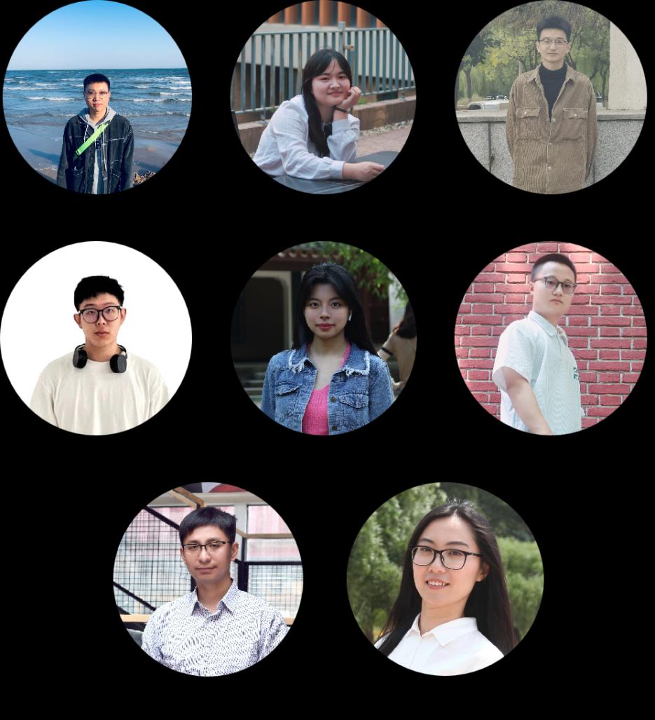
Participants: Zhou Keqin, Zhao Yamei, Wang Yihan, Fu Yiqing, Ren Hangxuan, Wang Huazhao
Instructor: Xu Tao, Wang Miao
As we all know, ecological governance is an important issue in China's development transformation, and it is also an inevitable requirement for realizing high-quality control and sustainable development of land space. In this study, we constructed a coupled Natural Geography-Socio Economic-Ecological Environment (NGSEE) model for multi-scale ecological governance based on multi-source data and machine learning methods. The model consists of indicators of physical-geographical, Socio Economic and ecological systems, and it is applicable to different regional divisions, such as administrative boundaries, Socio Economic boundaries and physical-geographical boundaries. The study collects and calculates the data of each research unit from 2001 to 2020, uses popular learning algorithms to reduce the dimensionality of the indicators of each system, explores the degree of coupling and coordination among the three systems in each research sample, and proposes corresponding ecological management strategies for different scales of analyses.
What’s more, there are also three innovation points of this project. Firstly, the model perspective is unique and the algorithm is novel. Secondly, the model is highly accurate and can better serve the analysis of the coupling relationship between the "Physical Geography-Socio Economic-Ecological Environment" system. Lastly, the model is applicable to the way of regional division of different natures, such as administrative boundaries, Socio Economic boundaries and Physical Geographical boundaries.
This study explores the coupling relationship between "Natural Geography-Socio Economic-Ecological Environment" systems from a multi-scale perspective, and empirically investigates it using SDV algorithms, MMM semi-supervised models, and machine learning regression, which provides innovative perspectives and methods.
In this study, we compared a number of common machine learning methods, and selected AutoGluon to achieve higher efficiency and accuracy of machine learning, and Neo4j to construct a complex knowledge graph with high overall recognition accuracy.
This study builds a model with a sample of 2,850 county (district)-level administrative units, 12 metropolitan areas, and nine watersheds across the country (excluding Hong Kong, Macao, and Taiwan) from 2001 to 2020, with a large time span, a wide geographic scope, and many scales involved.
By School of Architecture
Editors: Wen Shixuan, Sun Xiaofang